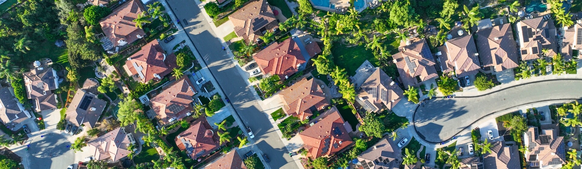
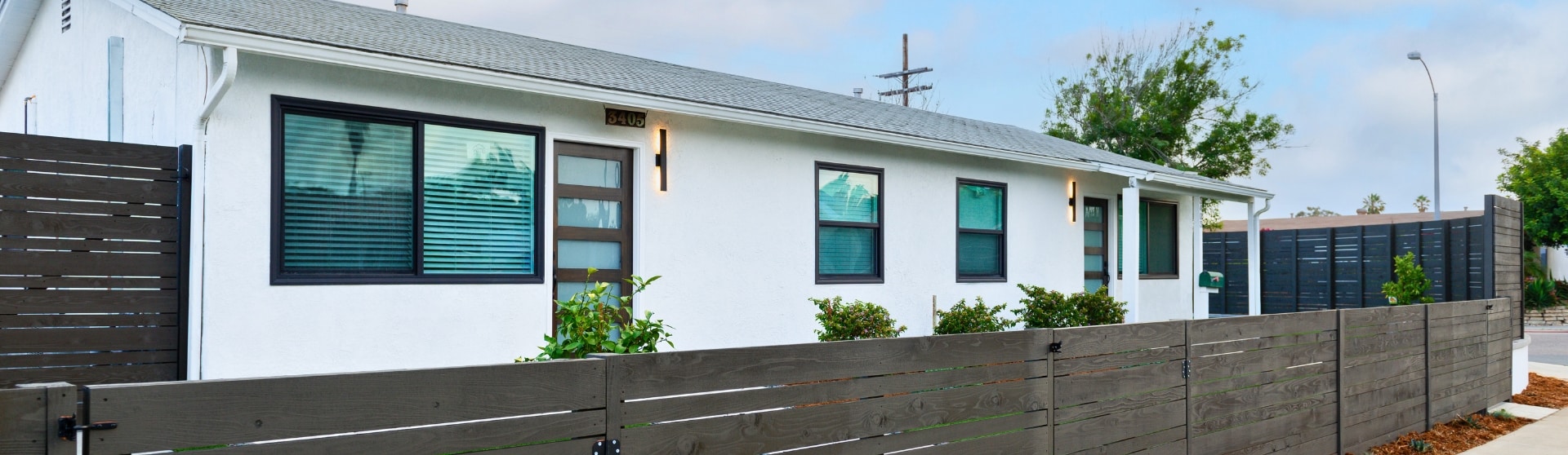
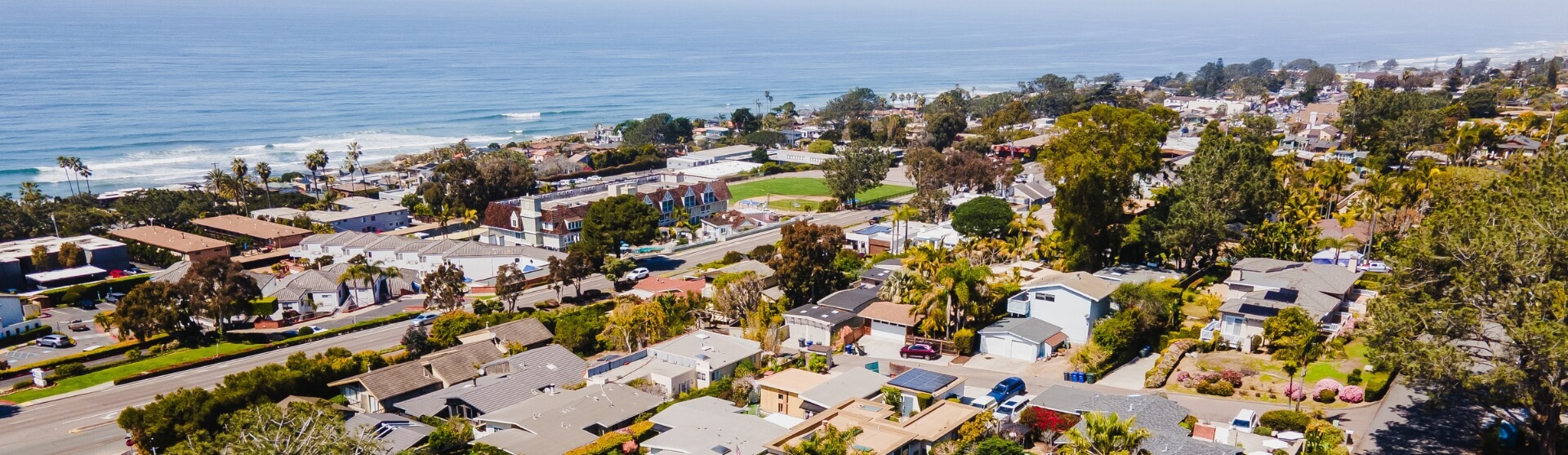
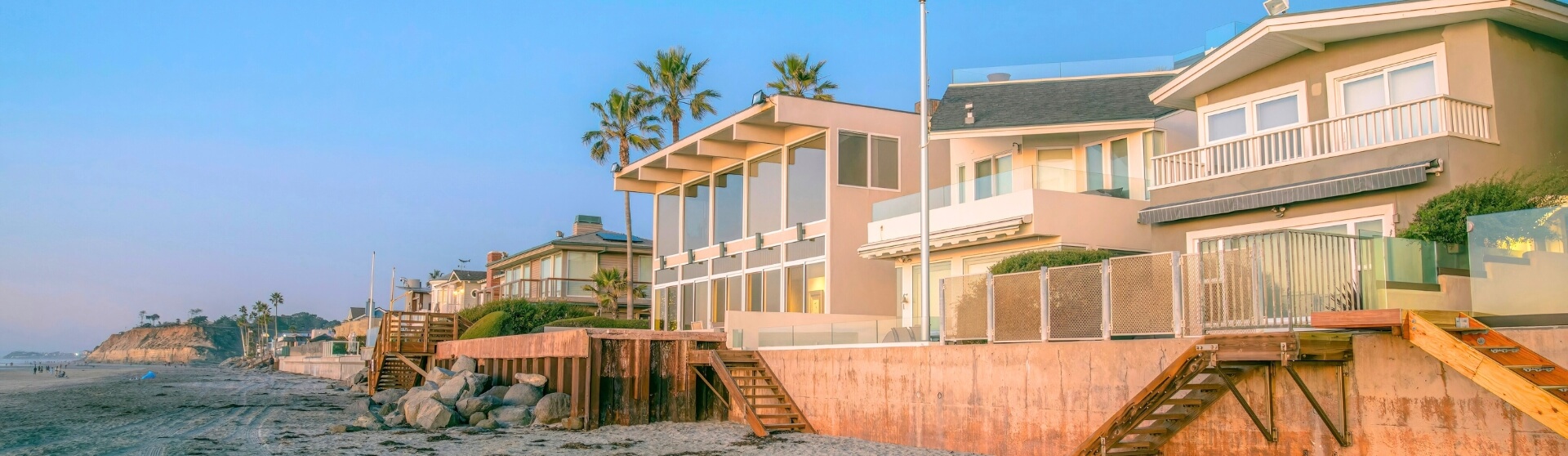
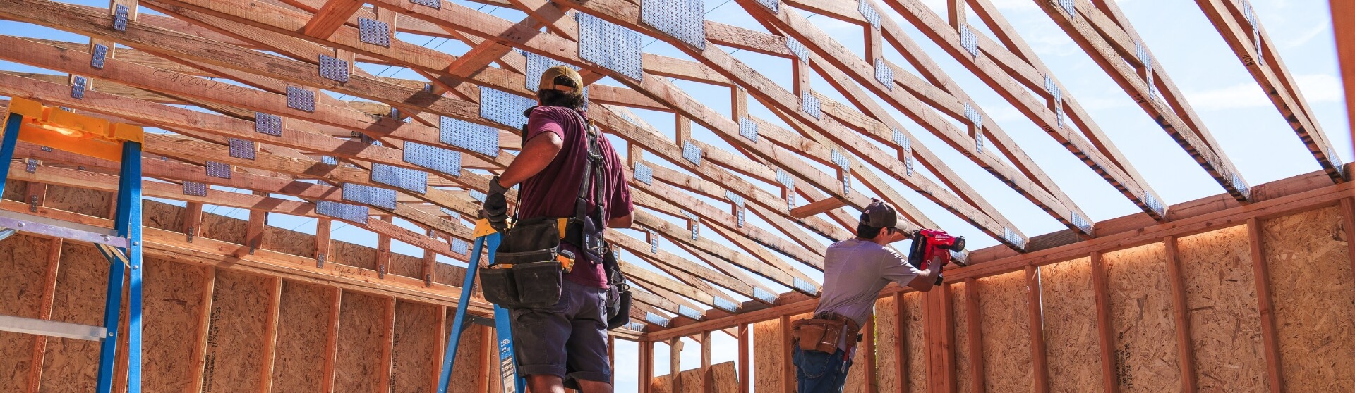
When Do You Need a Survey for an ADU in San Diego?
59 min read
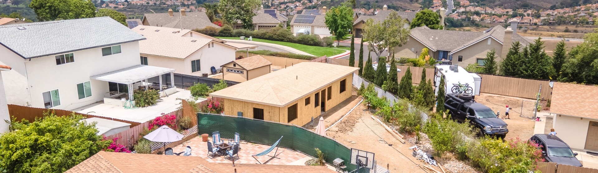
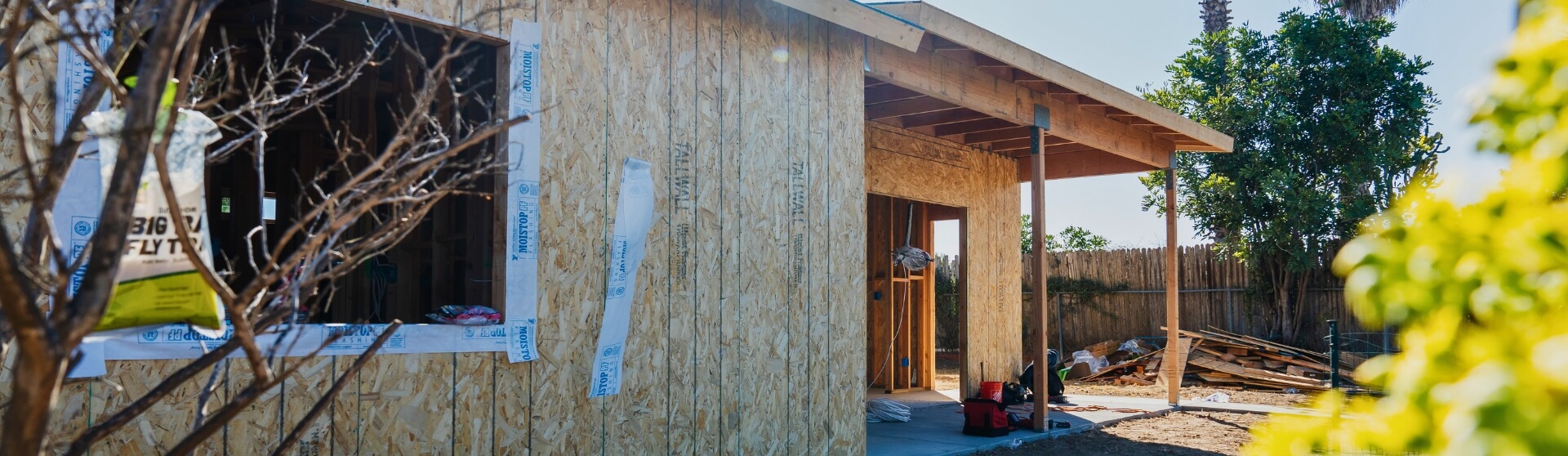
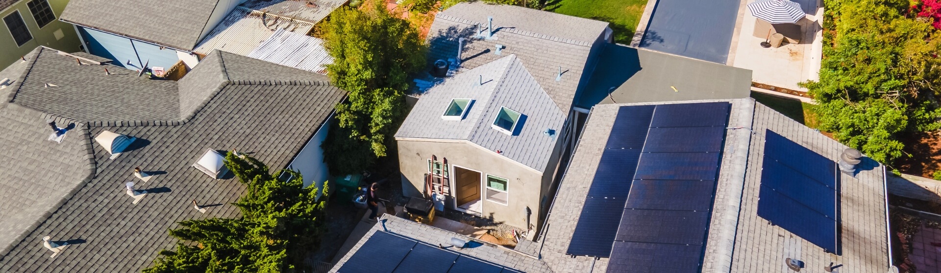
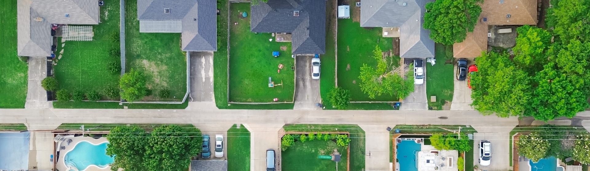
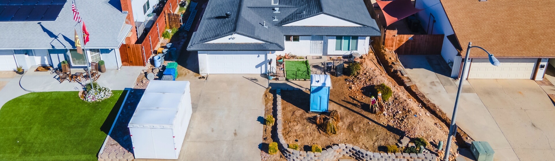
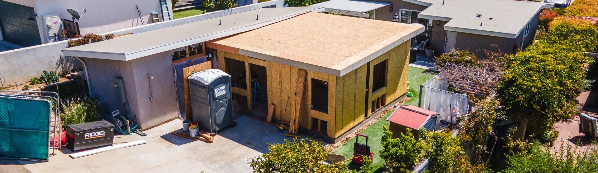
A survey for an ADU in San Diego is typically required when the new unit is built close to property lines, situated on a sloped or irregular lot, or when local regulations mandate setback verification. Cities like San Marcos require verification surveys for all ADUs, while others—such as Carlsbad—require one when a project approaches setback limits. Sloped or uneven lots may also require grading-related surveys to establish a safe building pad. Even where surveys aren’t explicitly required, they help prevent encroachments, reduce legal risks, and avoid construction delays.

Do I Need a Survey for an ADU?
A survey is often needed when your ADU is planned close to property boundaries, on a sloped or irregular lot, or in a city that strictly enforces setback and zoning rules through its local ADU ordinance or building departments. Some jurisdictions in the San Diego region require verification surveys for all accessory dwelling units or when the structure is near setback lines, while others leave the requirement to the inspector’s discretion during construction. Even if a survey isn’t explicitly listed on the building permit checklist, getting one early can help avoid boundary disputes, unexpected design changes, and costly delays that may arise during feasibility studies or site visits.
Key reasons you may need a survey for your ADU:
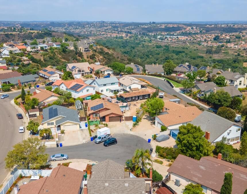
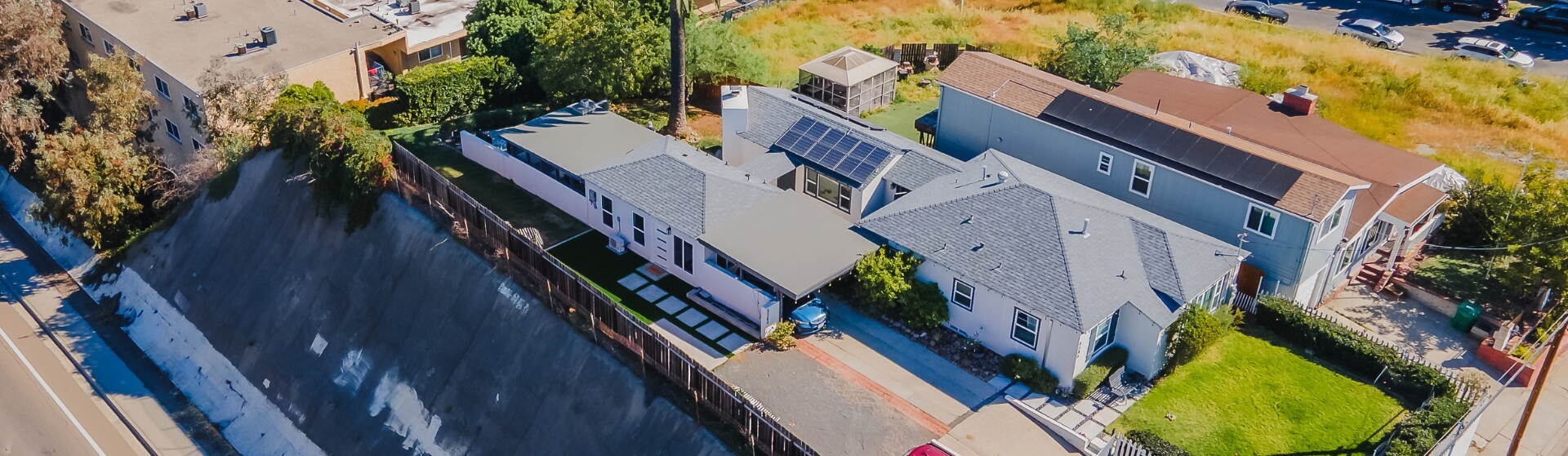
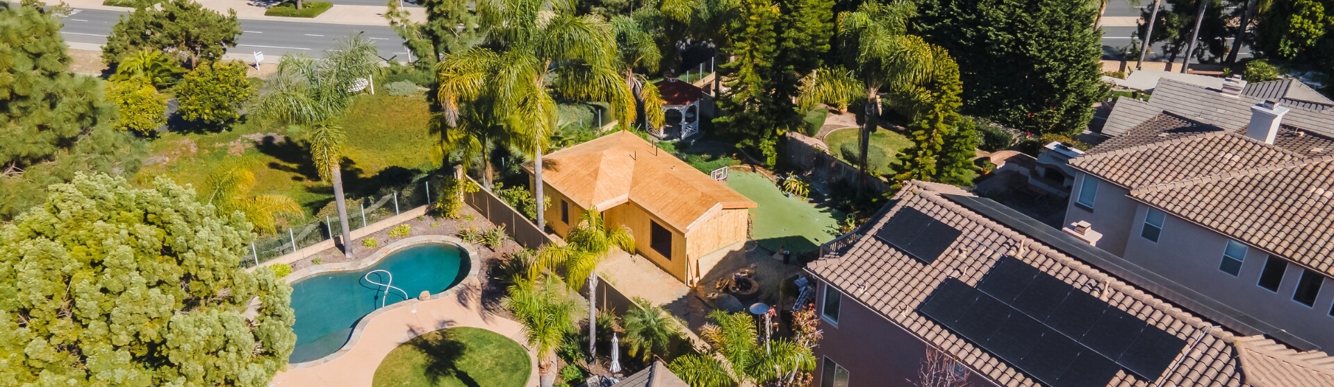
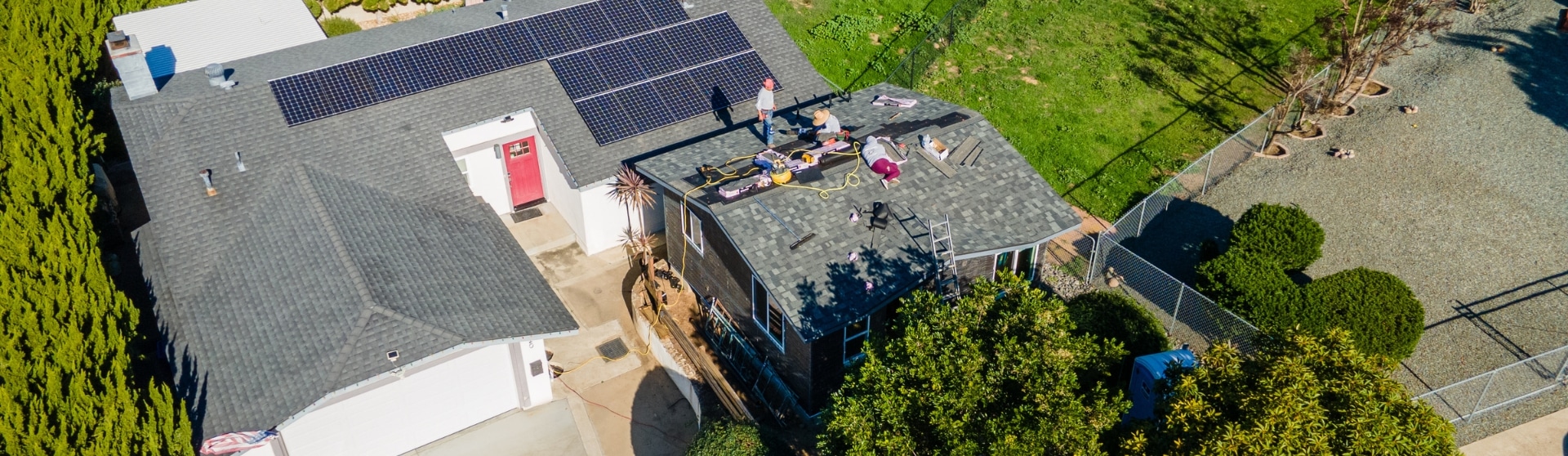
- Your lot has slopes, hills, or irregular terrain Steep or uneven lots often require grading-related surveys or soils investigations to determine safe foundation design and a buildable pad for the ADU, especially in hillside conditions where drainage, stability, and overall site prep work matter. (Maxable)
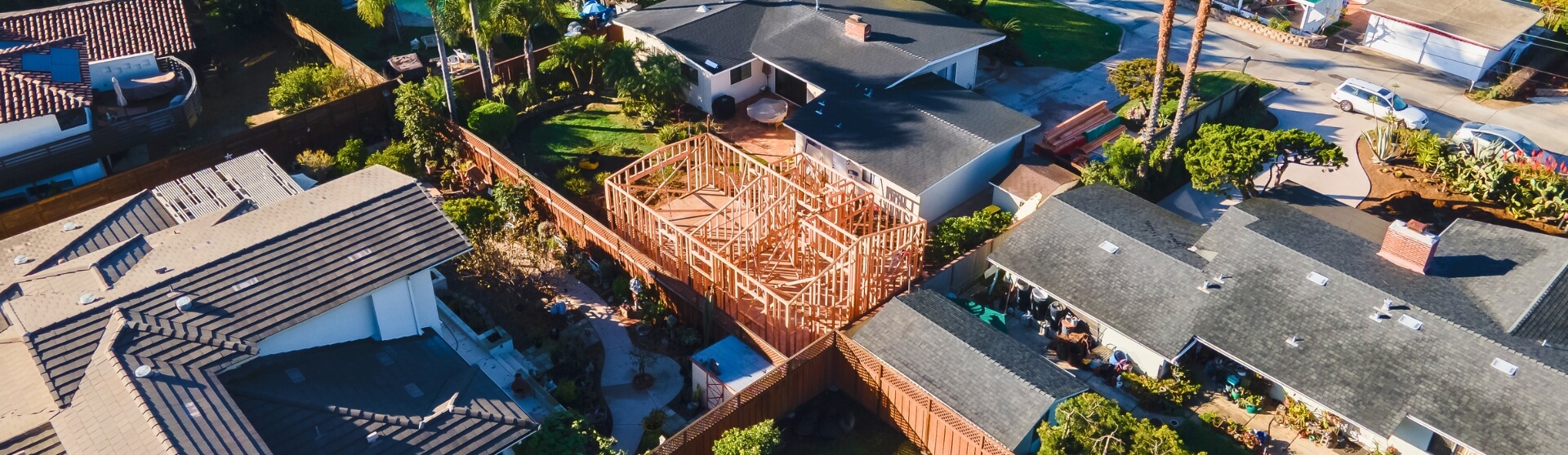
- You’re trying to maximize square footage near setbacks When homeowners push an ADU as close as possible to allowed setbacks to maximize interior space or optimize floor plans, cities are more likely to require precise verification of property lines and building location to avoid encroachments, zoning violations, or future issues with construction documents.
- Your ADU is planned close to a property line or setback Some jurisdictions require a boundary survey or building verification survey when an ADU is within a small distance of the required setback to prove the structure is not over the line. Carlsbad, for example, triggers verification when an ADU approaches setback limits, while San Marcos requires verification surveys for all ADUs under its local ordinance. (San Marcos,Carlsbad)
- You want to catch technical obstacles and budget accurately A comprehensive survey—often including topographic or planimetric mapping—helps uncover issues like retaining walls, drainage patterns, easements, and underground utilities. These details support more accurate construction estimates, utility planning, and building plans so you can avoid costly surprises during site prep work or foundation installation.
- An inspector can require a survey mid-project Even if your permit was issued without a survey, inspectors may stop work and require one if they’re not confident the ADU meets setback or property line requirements. This can lead to delays, revised construction documents, and unplanned expenses during the build.

If your ADU sits anywhere near a fence, slope, or easement, a survey up front is cheaper than redesigning after plan check.
Understanding Accessory Dwelling Units (ADUs)
What Is an ADU?
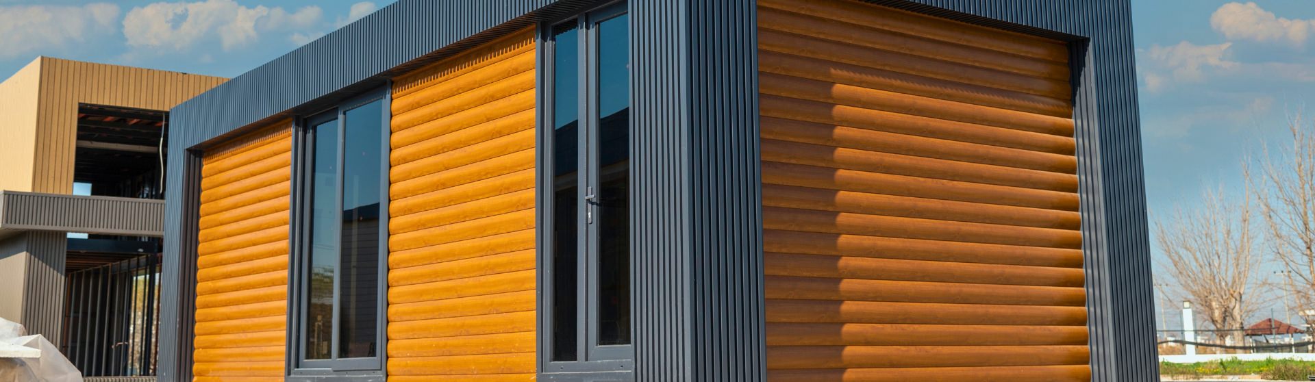
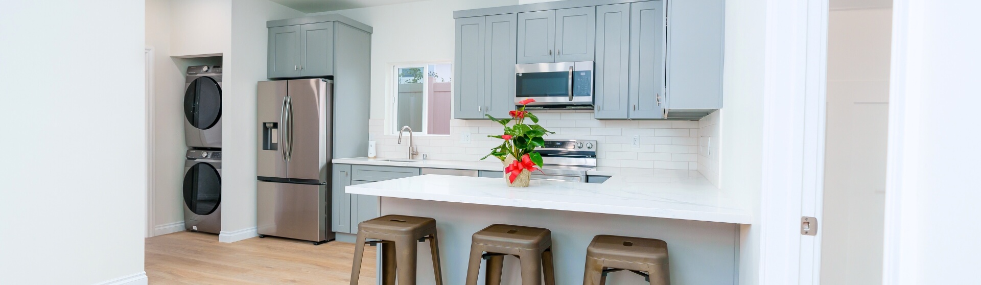
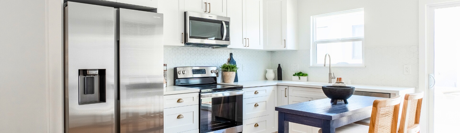
An Accessory Dwelling Unit (ADU) is a secondary, self-contained residential structure located on the same lot as a primary home. ADUs—also known as casitas, granny flats, or in-law suites—function as independent living spaces with their own kitchen, bathroom, and entrance. California’s evolving ADU law has expanded eligibility by reducing zoning barriers and streamlining requirements in the ADU Handbook, which includes standardized minimum setbacks, energy code considerations, and updates tied to state Government Code and Building Code standards.
Key Context & Stats
“The West Coast has seen an explosion in the number of ADUs. In California, the number being permitted rose from 800 in 2014 to more than 30,000 in 2024. Today, a quarter of the new homes permitted there are ADUs.” (Pioneer Institute)
Why Jurisdiction Matters
Survey requirements vary significantly across jurisdictions, especially in cities with strict adherence to local building accessory dwelling units regulations or areas where site constraints impact parking regulations or utility planning. Some cities also apply additional review based on coastal resources, drainage, or neighborhood density.
- San Marcos requires a Building Verification Survey (BVS) and setback certification for all ADUs, as part of its local ordinance. (Better Place – San Marcos)
- Carlsbad requires a survey or verification when an ADU is built close to required setback limits, ensuring full compliance with zoning and building standards. (Better Place – Carlsbad)
Benefits of a Survey
- Prevents boundary and encroachment disputes with neighbors.
- Identifies easements, utilities, and restricted zones during early utility mapping or planning stages.
- Ensures the ADU complies with zoning rules, height limits, and setback laws enforced by local City staff.
- Adds property value by providing documented due diligence and accurate site data for future construction management or resale evaluations.
Challenges Without a Survey
- Construction delays: Inspectors may halt work and require a survey if setbacks cannot be confirmed, which can disrupt building timelines or Title 24 energy calculations.
- Soil or slope issues: Sloped or irregular lots may require grading or geotechnical assessments before safe construction can begin.
- Unexpected site conditions: Without a survey, issues such as drainage conflicts, sewer lateral alignment, or utility placement may surface mid-project, causing delays, cost overruns, or revisions to structural details.

Even small ADUs need the same setback and site checks as a larger build—survey data keeps the layout legal and build-ready.
The Role of Surveys in ADU Projects
Why Surveys Matter in ADU Construction
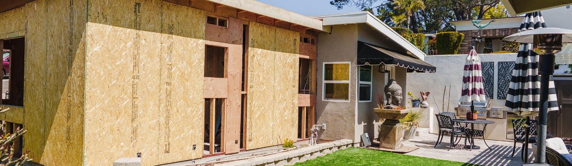
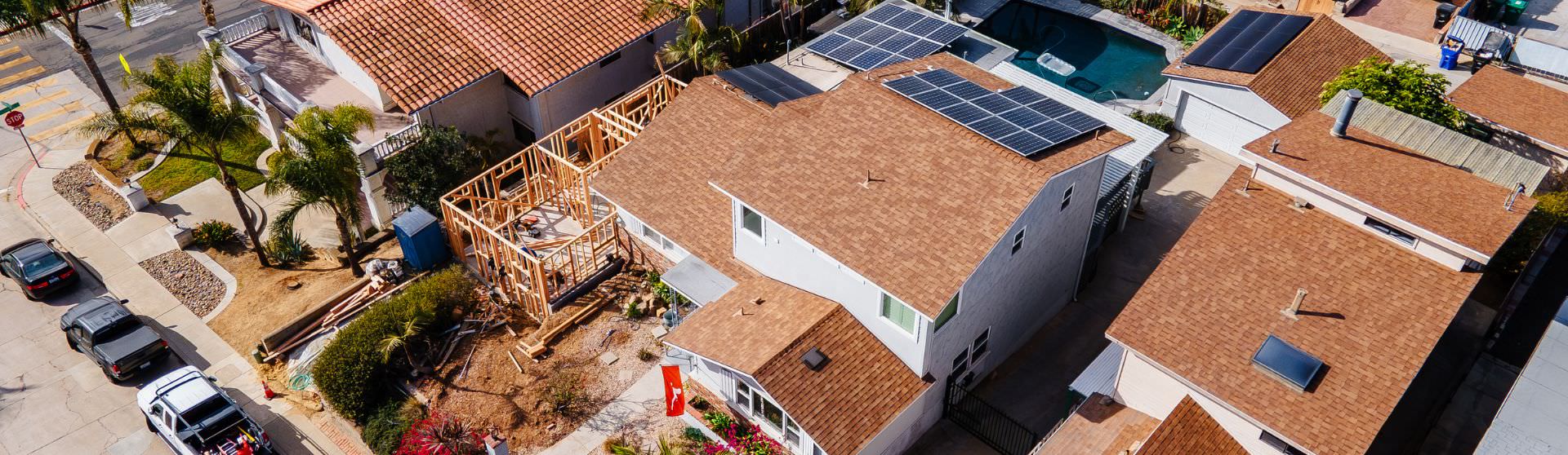
Surveys play a critical role in ADU construction because they verify property boundaries, uncover site challenges, and ensure the ADU meets local zoning and setback requirements laid out by city planning departments and state ADU law. They become especially important on sloped or irregular lots or when an ADU is built near property lines, where issues like drainage, utility placement, or structural requirements must be evaluated early. Many jurisdictions require surveys to confirm compliance and prevent costly corrections during or after construction, especially in areas with strict site constraints or deed restrictions.
Key Points With Sources
- Surveys detect site challenges early Topographic and planimetric surveys help identify slopes, utilities, drainage paths, and other site limitations early in the planning process—supporting accurate budgeting, feasibility assessments, and even early 3D renderings or site evaluations used in planning.
- Essential for ADUs near property boundaries Cities often require boundary or verification surveys when ADUs are located close to required setbacks, ensuring structures do not encroach on neighboring property or require later corrections that could affect compliance or market pricing.
- Required by many jurisdictions to ensure zoning compliance Some cities—including San Marcos—mandate setback certification and building verification surveys for all ADUs, regardless of lot conditions, helping prevent unpermitted ADUs or conflicts during the construction process.
A clear survey-backed site plan helps you spot grading, utility, and access constraints before they turn into change orders.
Types of Surveys for ADU Projects
There are three primary types of surveys used in ADU construction: boundary surveys, topographic/planimetric surveys, and building verification surveys (BVS). Boundary surveys establish legal property lines, topographic surveys document key site features and terrain, and verification surveys confirm that an ADU is built exactly where approved building plans and zoning laws require. Each survey supports a different stage of planning, permitting, or construction, helping ensure the ADU aligns with local ADU models and compliance practices.
Boundary Survey
A boundary survey identifies and confirms the exact legal property lines and corners of a lot. These surveys are often required when an ADU is placed close to setback limits, especially in jurisdictions with strict encroachment rules or neighborhoods with long-standing property deed restrictions. A boundary survey is also a prerequisite for cities that require a Building Verification Survey (BVS) to confirm final structure placement before construction continues.
Topographic / Planimetric Survey
Topographic and planimetric surveys map the physical characteristics of the property—including slopes, tree locations, retaining walls, utilities, drainage paths, and elevation changes. These surveys are essential during early feasibility and design phases, especially on sloped or irregular lots where factors like grading, utility planning studies, or foundation design must be evaluated.
They help determine:
- Whether grading is needed
- The best ADU placement
- Accurate construction cost estimates
- Potential site challenges affecting structural design or load calculations
Building Verification Survey (BVS)
A Building Verification Survey (BVS) confirms that the ADU, once staked or after foundation forms are set, is located exactly where plans specify and within legal setback limits. Some cities require this step for every ADU, especially in areas near coastal review zones overseen by the California Coastal Commission, while others only require it when the ADU is built close to neighboring property boundaries or sensitive areas like public scenic views.
Match the survey type to the project stage: boundary for design accuracy, topo for feasibility and costs, and verification right before or after forms.
Importance of Surveys in Compliance & Legal Protection
Preventing Boundary Disputes
Surveys play a crucial role in preventing boundary and encroachment disputes by clearly identifying legal property lines before construction begins. When an ADU is planned near a setback or fence line, a boundary survey helps ensure the project stays fully within the homeowner’s property and avoids conflicts that may arise later—an important step in cities where City Hall and local planning staff closely review site conditions or enforce stricter neighborhood standards.
Legal Documentation & Risk Mitigation
A certified survey provides authoritative documentation that can resolve disagreements with neighbors and protect the homeowner if concerns about property lines arise. Because a survey becomes part of the permanent project file, it offers legal assurance that the ADU was placed correctly, supporting future resale disclosures and helping avoid costly corrections—especially in areas where property paperwork, structural details, or plan preparer documentation is reviewed carefully.
Regulatory Compliance
Surveys help ensure full compliance with California’s ADU zoning requirements, including the state-mandated minimum 4-foot side and rear setbacks for qualifying ADUs. The California Department of Housing and Community Development (HCD) requires all local jurisdictions to allow and enforce these reduced setbacks, making accurate boundary verification essential when building close to property lines. This also aligns with broader statewide efforts to expand affordable housing units and support the Regional Housing Needs Allocation (RHNA cycle) through streamlined ADU development.
Surveys are your legal shield—clear boundary proof protects you from neighbor disputes and resale complications later.
Determining the Need for a Survey
Analyzing Your Site Conditions
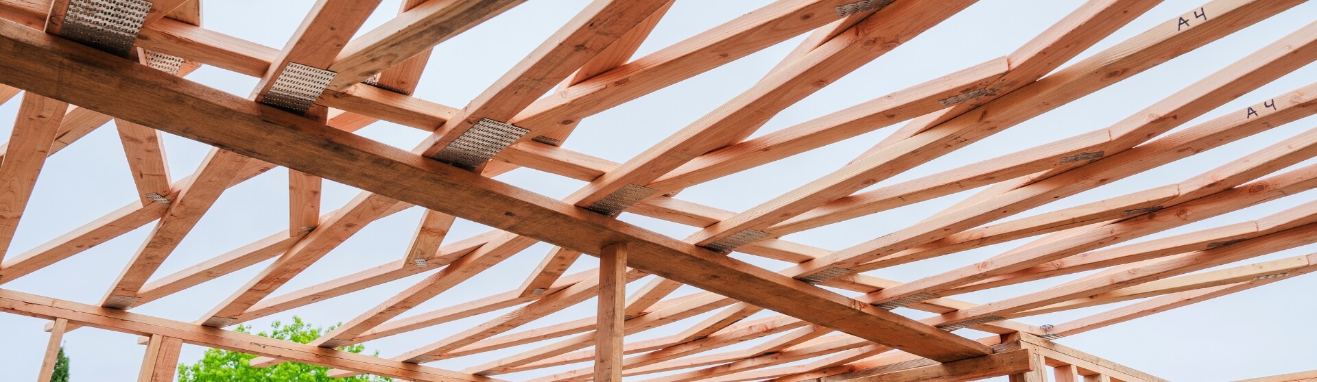
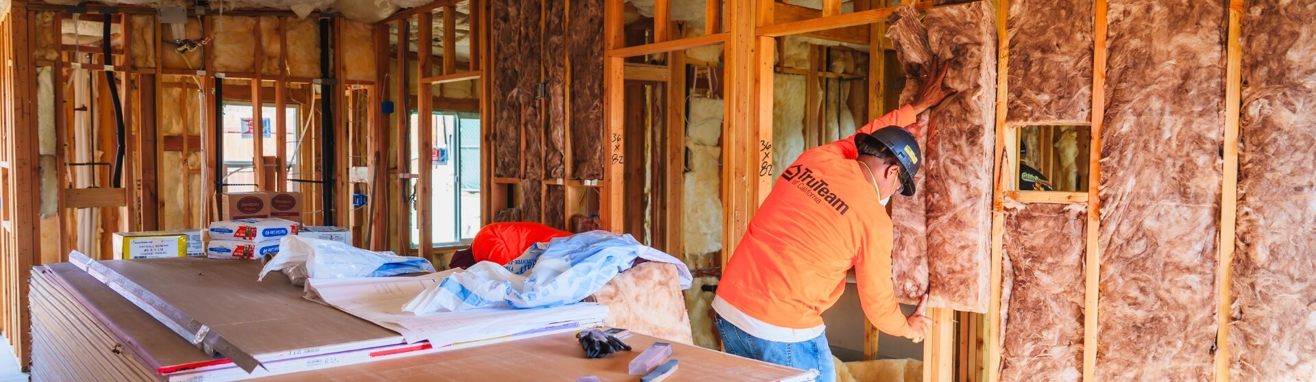
Understanding your property’s physical conditions is one of the most important steps in determining whether a survey is required for your ADU. Sloped or uneven lots often need grading-related evaluations or a structural engineering report to determine where a safe, buildable pad can be created—especially when soil stability or drainage may impact construction feasibility. ADUs planned near property boundaries typically require boundary verification to ensure compliance with local setback laws and to support early planning documents referenced in resources like the ADU Best Practices Guidebook. Soil composition, slope, and overall site constraints may also influence construction costs and determine whether additional surveys or geotechnical assessments are needed.
Inspectors May Require a Survey Mid-Project
Even if a survey is not initially required during permitting, an inspector may stop work mid-project if setback compliance is unclear. In these situations, construction cannot continue until the homeowner provides a certified survey to confirm the ADU is within legal boundaries. This can lead to costly delays, redesigns, or re-staking of the structure, particularly in cities where City Council oversight, neighborhood reviews, or special zoning layers require more detailed documentation.
Maximizing Buildable Area Drives Survey Requirements
Many homeowners aim to build the largest ADU allowable by placing the structure as close to setback limits as possible. However, building near these boundaries increases the likelihood that the city will require a survey—often a boundary survey or a Building Verification Survey—to confirm the ADU does not encroach on neighboring properties. When maximizing square footage or exploring higher-demand prefab models, precise setback validation becomes essential to avoid compliance issues, construction setbacks, and future complications with rental strategies or monthly rent potential.

The earlier you survey, the smoother your timeline—waiting until framing risks stop-work orders if setbacks can’t be verified.
Evaluating Existing Property Documentation
Using Old Surveys
Old or previously completed surveys can sometimes be reused for an ADU project—but only if the information is still accurate and reflects the current conditions of the property. This means the survey must show the correct property boundaries, all existing structures, and relevant site features such as slopes, utilities, and access points. When the documentation is up to date, it can support the design and permitting process without requiring a new survey, especially for homeowners pursuing streamlined options like Permit Ready Accessory Dwelling Units (PRADU Program) or standardized ADU models used in certain cities.
When a New Survey Is Required
A new survey becomes necessary when existing documentation no longer matches the property’s present conditions. Changes such as new fences, additions, retaining walls, grading modifications, or landscaping can render an old survey unreliable. Additionally, if a previous survey lacks essential planimetric or topographic information, designers and engineers may not have enough data to accurately plan the ADU—particularly on sloped terrain or compact lots common in areas like Del Mar or older neighborhoods. Updated mapping ensures the project complies with setback, grading, and zoning requirements and prevents costly issues during construction, including delays related to utility placement or solar installation considerations.
Old surveys only help if they reflect today’s conditions—new fences, additions, or grading usually mean updated mapping is necessary.
Considering Local Regulations & Guidelines
Zoning Requirements That Trigger Surveys
Local zoning rules play a major role in determining when a survey is required for an ADU. California’s Department of Housing and Community Development (HCD) mandates minimum 4-foot side and rear setbacks for qualifying ADUs, meaning any project built near these limits may require a boundary or verification survey to confirm compliance. Other zoning factors—such as lot coverage, height limits, easements, and neighborhood encroachment concerns—can also prompt a city to require detailed surveys to ensure the ADU fits legally within the property.
City Examples
Local jurisdictions across San Diego County vary widely in their enforcement and survey requirements. Below are verified examples from non-competitor sources:
- San Marcos
The City of San Marcos requires a Building Verification Survey (BVS) and setback certification for all ADUs, regardless of their size or placement on the lot. This makes San Marcos one of the strictest jurisdictions in the region for survey compliance. - Carlsbad
Carlsbad requires survey verification when an ADU is constructed near setback limits, ensuring the unit does not encroach onto neighboring properties. This verification is commonly triggered when homeowners attempt to maximize their buildable footprint.

Always check city-specific triggers—some jurisdictions require verification surveys automatically when builds approach setbacks.
Factors Influencing Survey Decisions
Property Boundaries & Zoning Constraints
Cities commonly require boundary surveys when an ADU is planned close to lot lines or setback limits. These surveys verify that the ADU footprint does not encroach on neighboring properties and that it complies with local zoning regulations and local JADU Ordinance or ADU review processes. Jurisdictions like Carlsbad and San Marcos enforce strict setback verification policies, making surveys a standard requirement in many ADU projects and helping homeowners avoid issues that could delay construction or complicate approvals from City staff or planning departments.
When to Expect a Survey
Homeowners should anticipate needing a survey whenever the ADU involves tight setbacks, challenging terrain, or site constraints. The following conditions frequently prompt cities or inspectors to require additional mapping or verification:
- If the ADU is close to setback limits. Building near required side or rear setbacks increases the likelihood that the city will require verification to prevent encroachment and maintain compliance with zoning rules.
- If the terrain is sloped or irregular. Sloped lots may require topographic or grading-related surveys to determine safe foundation placement and overall construction feasibility, particularly in neighborhoods with varied architectural styles or hillside layouts.
- If easements exist on the property. Surveys help identify public or private easements that limit where an ADU can legally be built, ensuring the project aligns with local infrastructure and utility access requirements.
- If utility lines intersect the build zone. Topographic/planimetric surveys reveal buried or above-ground utilities, helping avoid costly conflicts or rerouting work that might otherwise delay construction or affect long-term use—especially important for homeowners planning an Organic ADU or long-term rental strategy.
Terrain, easements, and utility paths are the hidden drivers of survey needs—site complexity matters as much as ADU size.
Project Timeline & Survey Needs
Survey Duration
A full property survey for an ADU typically unfolds in several stages, each contributing to the overall project timeline. Surveyors generally require 1–2 days of onsite fieldwork to collect measurements and verify boundaries, followed by 1–2 weeks of office analysis and documentation to finalize the official survey map. Due to high demand for surveyors—especially in active ADU markets like San Diego—homeowners may also experience 2–3 weeks of scheduling delays before fieldwork can begin.
Timeline Impacts
Survey requirements can significantly influence an ADU project’s timeline. If an inspector determines that property lines or setback compliance are unclear during construction, they may halt the project until a certified survey is provided—leading to delays and unexpected costs. By conducting a survey early in the planning process, homeowners reduce the risk of mid-project disruptions and ensure smoother coordination between design, permitting, and construction stages.
Cost Considerations for ADU Surveys
Typical Survey Costs
In the San Diego area, survey costs for an ADU project typically range between $2,000 and $10,000, depending on lot size, terrain complexity, and the type of survey required (boundary, topographic, or verification).
Factors That Increase Costs
Several site and process factors can drive survey costs higher:
- Lack of existing survey records — If the lot lacks recent survey monuments or recorded maps, the surveyor may need to conduct additional fieldwork.
- Sloped terrain or irregular lot shape — These conditions require more detailed topographic and planimetric surveys, increasing both time and cost.
- Surveyor backlogs — High demand in ADU-heavy markets can extend lead times and bump up labor costs.
- Construction near property boundaries — When an ADU is close to setback lines, the need for boundary verification or a building verification survey often triggers additional precision surveying and documentation to prevent encroachment.
Risk Mitigation & Avoiding Legal Disputes
How Surveys Prevent Issues
Surveys play a critical role in avoiding neighbor disputes and preventing encroachment-related conflicts. By establishing the exact property boundaries before construction begins, a survey provides legal verification that the ADU is placed correctly and complies with zoning and setback requirements. This ensures the structure does not cross onto adjacent properties or violate local regulations, protecting homeowners from costly legal challenges.
Documentation Benefits
A certified survey offers valuable documentation that becomes part of the property’s permanent record. This official verification of boundaries and structure placement serves as proof of compliance during resale, refinancing, or future permitting. For homeowners, this documentation provides peace of mind – ensuring the ADU was built lawfully and reducing the risk of future disputes or challenges from neighbors or city officials.
Professionals Involved in ADU Survey Decisions
Role of Architects & Designers
Architects and ADU designers play a key role in determining whether a survey is needed during the early planning stages. They rely on accurate site information—such as boundaries, slopes, utilities, and existing structures—to design an ADU that complies with zoning and setback regulations. Designers also use survey data to create precise site plans, prevent layout errors, and anticipate grading or utility challenges before construction begins.
Role of Structural Engineers
Structural engineers often assess soil conditions, grading requirements, and foundation needs—especially for ADUs built on sloped or uneven lots. Their evaluation determines whether additional surveys or geotechnical investigations are required to confirm soil stability and drainage. This information helps ensure the ADU foundation is properly designed and aligned with site conditions.
Surveyors & Legal Experts
Licensed land surveyors establish exact property boundaries, verify setbacks, and identify potential encroachments or easement conflicts that could impact ADU placement. Their certified documentation is often required by cities and inspectors to legally verify that an ADU complies with zoning laws and is built within the proper limits. Legal experts may also rely on survey data to resolve neighbor disputes and confirm compliance during property transactions.
Bring a licensed surveyor in early so your designer and engineer are working from verified boundaries and elevations, not assumptions.
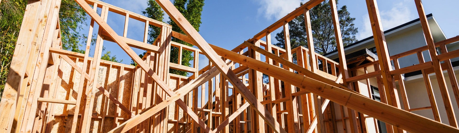
The Survey Process in ADU Development
Initial Planning
The survey process for an ADU begins during the early planning and feasibility stage. A planimetric or topographic survey is often conducted upfront to document existing site conditions—such as slopes, utilities, tree locations, grading variations, and nearby structures—so designers and engineers can make informed decisions about ADU placement. Reviewing city-specific requirements during this phase is essential, as jurisdictions like San Marcos and Carlsbad have stricter setback and verification rules that may require additional surveying steps.
Conducting the Survey
A licensed surveyor performs the survey through a combination of fieldwork and office analysis. The fieldwork phase typically requires 1–2 days to gather physical measurements, locate property corners, and map key site features. Afterward, surveyors spend 1–2 weeks processing the collected data, producing detailed drawings that show boundaries, utilities, topography, and other relevant elements. These documents guide the design team and establish the legal framework for where the ADU can be built.
Applying Survey Findings
Survey results are used throughout the design and construction process to ensure accuracy and compliance. Designers integrate the survey into project site plans, confirming that the ADU meets setback rules and avoids easements or restricted areas. When required—such as in San Marcos or in any jurisdiction where the ADU is near a property line—the final survey information supports the Building Verification Survey (BVS), which proves the ADU was built in the approved location before construction continues.
Conclusion
Determining whether you need a survey for your ADU in San Diego comes down to understanding your lot conditions, your city’s regulations, and how close your project sits to required setbacks. Surveys play a crucial role in preventing boundary disputes, ensuring zoning compliance, and avoiding costly mid-construction delays. Whether your property has slopes, tight clearances, or outdated documentation, getting an accurate survey early in the process provides clarity, protects your investment, and keeps your project on track. For most homeowners, a survey isn’t just a technical step—it’s a smart safeguard that supports a smoother, safer, and legally compliant ADU build.
Frequently Asked Questions
A typical detached ADU in San Diego costs $200,000 to $450,000, with most builds falling in the $375–$600 per square foot range. For example, a 750 sq ft ADU commonly costs around $300,000–$350,000 depending on finishes, utility connections, and site conditions.
Prefab ADUs can be faster to install, but they are not always cheaper. While small prefab units can start around $90,000–$150,000, the additional costs of foundations, utility connections, craning, delivery, and permitting often bring the total cost close to—or even above—custom-built ADUs. Custom ADUs typically cost $150,000–$250,000 for smaller sizes but offer more flexibility and may reduce unexpected site-related costs.
Using San Diego’s average ADU construction range of $375–$600 per square foot, a 1,000 sq ft ADU typically costs $375,000 to $600,000. Larger ADUs sometimes benefit from slightly lower per-square-foot pricing, so many projects land around the mid-$400,000 range.
To get an ADU survey in San Diego, you’ll start by hiring a licensed land surveyor who has experience with residential and ADU-specific projects. They will review your property, gather your site plans or ADU concept, and determine whether you need a boundary survey, a topographic/planimetric survey, or both. The surveyor then performs the fieldwork – usually completed in one to two days – followed by one to two weeks of analysis and documentation. Once the survey is finalized, you can use it for your ADU design, your permit application, or to satisfy any city requirements, such as a Building Verification Survey during construction. The completed survey should be kept on file for future inspections, resale needs, or property line verification.
For a residential ADU project in San Diego, survey costs typically range from $2,000 to $10,000, depending on lot size, slope, and complexity. Basic residential land surveys can be as low as a few hundred dollars for simple lots, but ADU-specific surveys—such as boundary surveys, topographic surveys, and building verification surveys—fall on the higher end due to the precision required.
More Blogs
-
ADU Trends & Insights
When Should You Build an ADU in San Diego?
ADU construction involves planning, permitting, and building a self-contained living space on a residential property — adding value, flexibility, and income potential without buying new land. In California, ADUs now make up about one in six new homes, reflecting their growing role in solving the state’s housing shortage.
-
ADU Trends & Insights
How Much Does an ADU Increase Property Value?
Discover how adding an ADU can significantly boost your property value, generate rental income, and enhance long-term equity—all while making the most of your available space.
-
ADU Trends & Insights
What Roofing Options Are Best for ADUs in California (Especially San Diego)?
The best ADU roofing in California (especially San Diego) balances budget, durability, and curb appeal—using options like asphalt shingles, metal, tile, or low-slope membranes that meet Title 24 cool-roof/solar requirements and hold up to intense sun, heat, and wildfire risk.
-

ADU Trends & Insights
Are Pre-Approved ADU Plans Right for You in San Diego?
Compare pre-approved vs. custom plans and why the cheapest option isn't always best.
-
ADU Trends & Insights
What Qualifies as an ADU?
ADUs are reshaping the California housing market, providing homeowners with cost-effective, independent living spaces to meet diverse needs.
-
ADU Trends & Insights
What Is ADU Rental Income and Why Are California Homeowners Investing in It?
Explore how to maximize rental income from an ADU with tips on design, rental strategies, and legal considerations to turn your ADU into a profitable investment.
-
ADU Trends & Insights
Setback Requirements for ADUs in San Diego
Ensure your ADU meets California's setback requirements—learn essential rules, local variations, and expert tips to maximize your space and streamline permitting.
-
ADU Trends & Insights
What Are the ADU Electrical Requirements in California in 2026?
California ADUs must comply with strict electrical and energy regulations under the California Electrical Code (CEC) and Title 24 energy standards. Most ADUs require detailed planning for electrical panels, load calculations, dedicated circuits, solar readiness, and utility coordination to meet modern safety and efficiency requirements. Homeowners in San Diego and across California often underestimate the […]
-
ADU Trends & Insights
Using a HELOC to Fund an ADU in California?
A HELOC lets California homeowners fund an ADU in phases using home equity, paying interest only on what they use. In San Diego, strong rental income often offsets payments, though variable rates and post–draw-period repayment increases should be considered.
-
ADU Trends & Insights
Can You Sell an ADU in San Diego?
San Diego's pending ordinance may soon enable homeowners to sell ADUs as separate condominiums, expanding affordable housing opportunities.
-

ADU Trends & Insights
What Makes an Ideal Lot for an ADU in California (Especially San Diego)?
An ideal ADU lot in California (especially San Diego) is flat or gently sloped with enough clear buildable space for setbacks, good construction access, nearby utility tie-ins, and minimal easements or overlays—since slope, access, and utility distance are the biggest drivers of cost and feasibility even with “by-right” ADU rules.
-
ADU Trends & Insights
Spanish Style ADUs
Explore the timeless elegance of Spanish-style ADUs with iconic features like stucco walls, red tile roofs, and stunning architectural details.
-
ADU Trends & Insights
What Are the Key Differences Between Attached and Detached ADUs in California?
An attached ADU shares at least one wall or structural connection with the primary residence, while a detached ADU is a standalone structure located on the same property. Both provide complete independent living facilities, including areas for living, sleeping, cooking, and sanitation, but they differ in privacy, construction requirements, utility infrastructure, design flexibility, and rental […]
-
ADU Trends & Insights
What Are ADU Owner Occupancy Requirements?
ADU owner occupancy requirements are rules that require a property owner to live on the same lot as an accessory dwelling unit, either in the primary residence or the ADU itself. These rules were historically imposed by local governments to discourage absentee landlords and preserve neighborhood character. In California, however, owner-occupancy requirements for ADUs are […]
-
ADU Trends & Insights
What Is a Granny Flat? Definition, Types, and How They’re Used
Granny flats offer San Diego homeowners flexible housing solutions, from accommodating family to generating rental income, with options including detached builds, garage conversions, or junior ADUs.
-
ADU Trends & Insights
How to Finance an ADU Project in California
California homeowners can finance an ADU using home equity, cash-out refinancing, construction or renovation loans, and programs like San Diego’s SDHC (up to $250K), with rental income often helping offset the $200K–$450K build cost.
-
ADU Trends & Insights
Garage ADU: What It Is, Costs, Rules, and Conversion Options
Unlock your property's potential by converting your detached garage into a cost-effective, versatile ADU that increases property value and generates rental income.
-
ADU Trends & Insights
What Are Vaulted Ceilings and High Ceilings in ADUs and Are They Worth It in California?
Vaulted ceilings enhance ADUs by maximizing vertical space, increasing natural light, improving comfort, and boosting long-term property value in California when designed and built correctly.
-
ADU Trends & Insights
Should You Invest in Building an ADU in San Diego?
Building an ADU in San Diego can be a worthwhile investment for homeowners looking to generate rental income, increase property value, or create flexible living space for family members. An Accessory Dwelling Unit (ADU) is a secondary residential unit built on the same lot as a primary home, and demand for ADUs continues to grow […]
-
ADU Trends & Insights
What Is ADU Project Management?
ADU project management is the process of overseeing every stage of an accessory dwelling unit project to ensure it stays on schedule, within budget, and compliant with local regulations. It involves coordinating architects, contractors, and inspectors while managing permits, timelines, and construction milestones. Effective project management also includes tracking costs, minimizing delays, and maintaining clear […]
-

ADU Trends & Insights
How We Make Your ADU’s Interior Design Stress Free & Feel Like Home
Our interior designers simplify the finish selection process—so you get a stylish, renter-friendly ADU without the stress, delays, or costly mistakes.
-
ADU Trends & Insights
How Do You Design the Perfect Granny Flat?
Designing the perfect granny flat starts with understanding local ADU regulations, defining the unit’s intended use, and planning a layout that maximizes comfort within a compact footprint. In California, granny flats—legally classified as Accessory Dwelling Units (ADUs)—must comply with state and local rules covering size, setbacks, and permitting. A successful design balances budget, livability, and […]
-

ADU Trends & Insights
Are ADUs a good alternative to nursing homes for California homeowners?
ADUs offer California homeowners a practical alternative to nursing homes by allowing aging parents to live independently on the same property, supporting aging in place while turning ongoing care costs into a long-term home investment.
-
ADU Trends & Insights
Why ADUs & Costs Matter in San Diego
Planning an ADU in San Diego? Get the lowdown on all the hidden costs that can catch you off guard.
-
ADU Trends & Insights
Prefab ADUs: Pros and Cons
Explore the pros and cons of prefab ADUs in California, including cost, customization, durability, and ROI, to decide if modular construction suits your needs.
-
ADU Trends & Insights
California ADU Law: The Ultimate Guide
California has streamlined ADU construction to address the housing crisis, but development standards still apply. Check local regulations before starting your project.
-
ADU Trends & Insights
13 Common Misconceptions About ADUs
Uncover the truth about ADU misconceptions and navigate construction, costs, and regulations for informed decisions.
-

ADU Trends & Insights
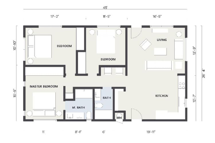
What Are the Best Floor Plans for ADUs?
The best ADU floor plans are goal-driven and code-compliant—using efficient layouts like studios, 1-bed/1-bath rentals, or split-bedroom designs that maximize light, privacy, and flexibility while fitting your lot and budget.
-

ADU Trends & Insights
How do ADUs benefit real estate agents in California and San Diego?
ADUs benefit real estate agents in California and San Diego by increasing property value and buyer appeal, creating built-in rental and multigenerational living opportunities, and giving ADU-savvy agents a competitive edge in pricing, marketing, and closing deals in a tight housing market.
-
ADU Trends & Insights
What is stormwater management for Accessory Dwelling Units (ADUs) in California?
Stormwater management for ADUs is the process of controlling and treating rainwater runoff generated by new backyard cottages or secondary homes.
-
ADU Trends & Insights
How to Build an ADU in the San Diego Coastal Zone
Building an ADU in San Diego’s Coastal Zone requires checking if the property is in the Coastal Overlay Zone, which typically triggers a Coastal Development Permit or exemption.
-
ADU Trends & Insights
What Are ADU Electrical Requirements in California?
Get the complete breakdown of electrical requirements for ADUs in California, from panel upgrades to solar compliance, to help you build safely and within code.
-
ADU Trends & Insights
Where Can ADUs be Built in San Diego, CA?
ADUs are allowed on nearly all residential lots in California, including single-family and multifamily properties, under state law. In San Diego, any property zoned for residential use qualifies, making it easier than ever for homeowners to add an ADU and expand their living or rental space.
-
ADU Trends & Insights
20 Day Preliminary Notice for ADUs in California: Requirements and Deadlines
A California 20-Day Preliminary Notice is a required filing for most ADU projects that subcontractors and suppliers must send within 20 days of providing labor or materials, notifying owners, contractors, and lenders.
-

ADU Trends & Insights
What Is an ADU Cost Calculator and How Much Does It Cost to Build an ADU in California?
An ADU cost calculator helps California homeowners estimate the cost of building an accessory dwelling unit based on factors like square footage, construction type, utility work, site conditions, and finish quality. In California, ADU construction costs typically range from $100,000 to $200,000, although detached ADUs with premium finishes or difficult site conditions can exceed that […]
-
ADU Trends & Insights
How Do You Budget for an ADU Build in California and San Diego?
Learn how to budget for an ADU in California and San Diego by understanding costs, timelines, financing options, and strategies to avoid surprises and maximize long-term value.
-
ADU Trends & Insights
What Is ADU Construction?
ADU construction involves planning, permitting, and building a self-contained living space on a residential property — adding value, flexibility, and income potential without buying new land.
-
ADU Trends & Insights
ADU Manufactured Homes in San Diego: Are They Right for You?
Discover whether a manufactured home is the right choice by exploring costs, regulations, benefits, and potential drawbacks.
-
ADU Trends & Insights
ADU vs JADU: What’s the Difference?
Explore the crucial differences between ADUs and JADUs—including size, regulations, costs, and ROI—to determine the best fit for your property and goals.
-
ADU Trends & Insights
Should You Build Your ADU Yourself or Hire a Contractor in San Diego, California?
Building your own ADU in San Diego can save on labor and contractor markup, but it’s essentially managing a small-house build with permits, trades, and inspections—so hiring an experienced contractor (or using a hybrid approach) often reduces delays, risk, and costly mistakes.
-
ADU Trends & Insights
How Do You Compare ADU Builder Quotes in San Diego and California?
Compare itemized ADU quotes—labor, materials, permits, timelines—to ensure transparent pricing, true value, and no surprise costs.
-

ADU Trends & Insights
The Perfect ADU Kitchen
Discover how smart layouts and stylish design choices can transform even the smallest ADU kitchens into luxurious, functional spaces.
-

ADU Trends & Insights
How Does Choosing the Right Color Scheme Impact an ADU’s Design and Value?
Choosing the right ADU color scheme—especially light, neutral palettes with intentional accents—can make small spaces feel larger, improve livability, and increase rental and long-term property value.
-
ADU Trends & Insights
Can an HOA Prevent an ADU in California?
If you’re part of a homeowners association and considering building an accessory dwelling unit on your property, it's key to consider any rules your HOA may have about ADUs.
-
ADU Trends & Insights
Do You Trust Your Builder?
You can trust your ADU builder when they prove real ADU experience, proper California licensing/insurance, and clear written contracts, not just a good sales pitch.
-

ADU Trends & Insights
Key Differences Between Pool Houses and ADUs
Discover the differences between pool houses and ADUs to choose the right addition for your property—find out about amenities, regulations, and value impact!
-

ADU Trends & Insights
How Do You Integrate Outdoor Living Into ADU Design?
Integrating outdoor living features such as patios, decks, and seamless indoor-outdoor connections helps ADUs feel larger, more livable, and more valuable.
-
ADU Trends & Insights
How Long Until an ADU Pays for Itself?
Most ADUs pay for themselves within 5–15 years by combining rental income and property value appreciation, with faster payback in high-demand markets like San Diego.
-
ADU Trends & Insights
Best ADU Designs
Explore essential ADU design trends and practical insights, from layout optimization to style choices, ensuring your accessory dwelling unit maximizes comfort, functionality, and investment potential.
-
ADU Trends & Insights
What Is a Retaining Wall for an ADU?
A retaining wall for an ADU is a structural wall designed to hold back soil, stabilize slopes, and create a level building area. These walls help prevent erosion, protect the structure from water damage, and make construction possible on sloped or uneven lots.
-
ADU Trends & Insights
What Are the Legal Bedroom Requirements in California?
California has made building ADUs easier to tackle the housing crisis, but specific state and local regulations still apply. Here's what you need to know before starting.
-
ADU Trends & Insights
How Does ADU Construction Work in San Diego, CA?
San Diego’s ADU process is fast and flexible, with permits approved within 60 days and options for detached units up to 1,200 sq. ft. or garage conversions. Thanks to state laws and the city’s ADU Bonus Program, homeowners can build quickly, add value, and even earn extra units by including affordable housing.
-
ADU Trends & Insights
How to Finance an ADU in San Diego
ADUs are growing popular in San Diego, offering housing for family or rental income, but demand substantial upfront investment.
-
ADU Trends & Insights
What Is a Casita? Definition, Uses, and How It’s Different From an ADU
Casitas are stylish, small ADUs under 800 sq. ft., perfect for guests, rentals, or in-law suites. Discover the benefits, costs, and designs.
-

ADU Trends & Insights
What is the importance of an ADU feasibility study in California and San Diego?
An ADU feasibility study is a comprehensive analysis of zoning, site constraints, existing utilities, and a proposed design that determines whether building an accessory dwelling unit is practical and financially viable on a specific property.
-
ADU Trends & Insights
What Is an ADU Cost Breakdown?
An ADU cost breakdown shows where your budget goes—hard construction costs (about 85–90%) versus soft costs like plans, permits, and city fees (about 10–15%)—so you can set realistic expectations and avoid surprises.
-
ADU Trends & Insights
SB9 vs ADU: What’s the Difference and Which Is Better?
While promising, the complexity and lengthy approval process of SB9 projects make traditional accessory dwelling units (ADUs) an often simpler and quicker alternative for expanding property use.
-

ADU Trends & Insights
Is it Worth It To Build An ADU in 2026? Assessing the ROI of Building an ADU
Discover the financial benefits and pitfalls of building an ADU with our comprehensive, detailed guide.
-
ADU Trends & Insights
Downsizing to an ADU: Benefits, Costs, and Key Considerations
Downsizing to an ADU means moving into an Accessory Dwelling Unit—a smaller, self-contained home on your property—while renting out or repurposing your main house.
-

ADU Trends & Insights
How Many ADUs Can You Have on Your Property in California?
Understand California's rules for ADUs and JADUs, including property limits, zoning laws, and strategies to maximize space, rental income, and property value.
-
ADU Trends & Insights
Why Do You Need an Experienced ADU Builder in California?
An experienced ADU builder helps homeowners navigate California’s complex permitting rules, zoning regulations, and construction requirements while avoiding costly mistakes and delays. Accessory Dwelling Units (ADUs) are secondary housing units built on the same property as a primary residence and can include detached backyard homes, attached additions, garage conversions, or basement apartments with independent living […]
-

ADU Trends & Insights
Construction Loans vs. Personal Loans for ADUs: What Do California Homeowners Need to Know?
Building an ADU in California typically requires high financing and San Diego homeowners usually choose between construction loans, which are based on the future value of the property, and personal loans, which offer fast approval but higher interest rates.
-
ADU Trends & Insights
Custom ADU: Your Ultimate Guide
A custom ADU may cost more than manufactured or prefab units, depending on size, type, and finishes, but it offers several benefits.
-
ADU Trends & Insights
What Are the Best Loan Programs for ADUs in California (San Diego Guide)?
California homeowners can finance ADUs through home equity, construction or renovation loans, cash-out refinancing, and programs like CalHFA (when available) and San Diego’s SDHC, with the best option depending on equity, income, and timing.
-
ADU Trends & Insights
What Are Stacked Accessory Dwelling Units (ADUs)?
Stacked ADUs are two fully independent accessory dwelling units built vertically in a single two-story structure, allowing California homeowners to add multiple homes on one lot without increasing the building footprint when local height and zoning rules allow.
-
ADU Trends & Insights
What are the universal design principles for ADUs?
Universal design principles for ADUs focus on creating safe, flexible, and comfortable homes—using features like step-free entries, wider doorways, accessible bathrooms, and intuitive layouts—so the space remains usable for people of all ages and abilities over time.